
01 — Flagship project
Phersu Atlas
An interactive historical atlas of the world, day by day, from 3,499 BC to today. Behind the map: about 8,000 polities with their rulers, capitals, cities, battles, territorial changes and statistics.
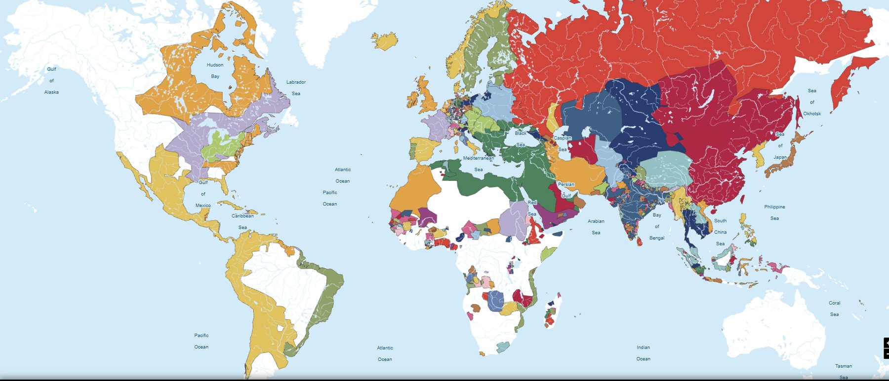
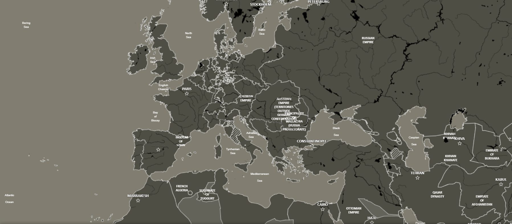
History · Geography · Visual culture · Technology
Historical geodata, cartography and visualisation — built with scientific rigour for researchers, publishers and the curious.
Hofstetter History Software
Hofstetter History Software develops digital tools for history, geography and cultural heritage. Our products combine maps, datasets and spatial analysis to make historical knowledge accessible, searchable and reusable.
We turn historical knowledge into digital products: maps, databases, APIs and interactive experiences.
01 — Flagship project
An interactive historical atlas of the world, day by day, from 3,499 BC to today. Behind the map: about 8,000 polities with their rulers, capitals, cities, battles, territorial changes and statistics.
02 — Map editor · with Sapienza Università di Roma
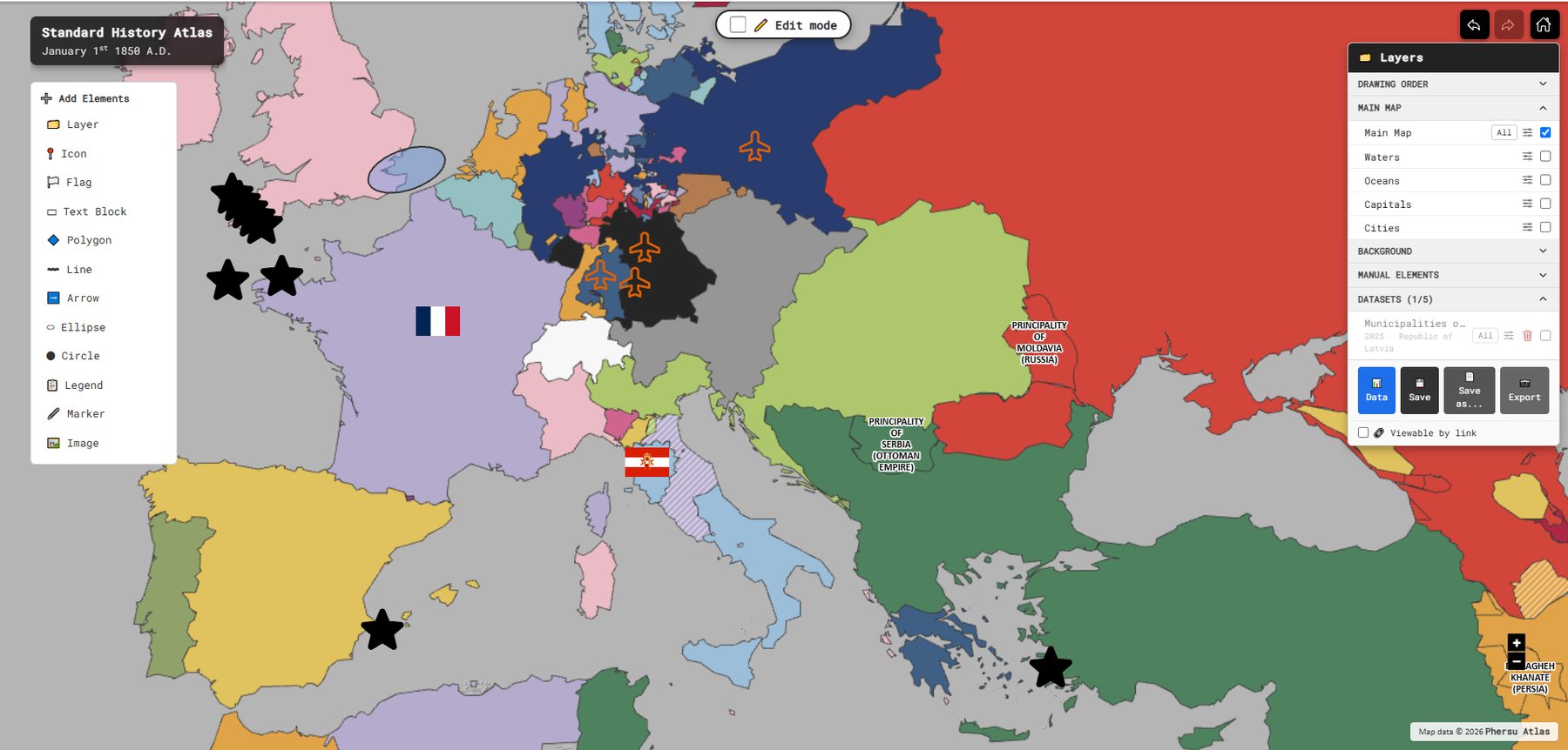
A 2D and 3D cartographic editor built on the Phersu Atlas database. Choose a date and the borders of that day appear; then style, annotate, attach data and share. Developed with Sapienza Università di Roma for research and teaching.
03 — For developers, researchers and institutions
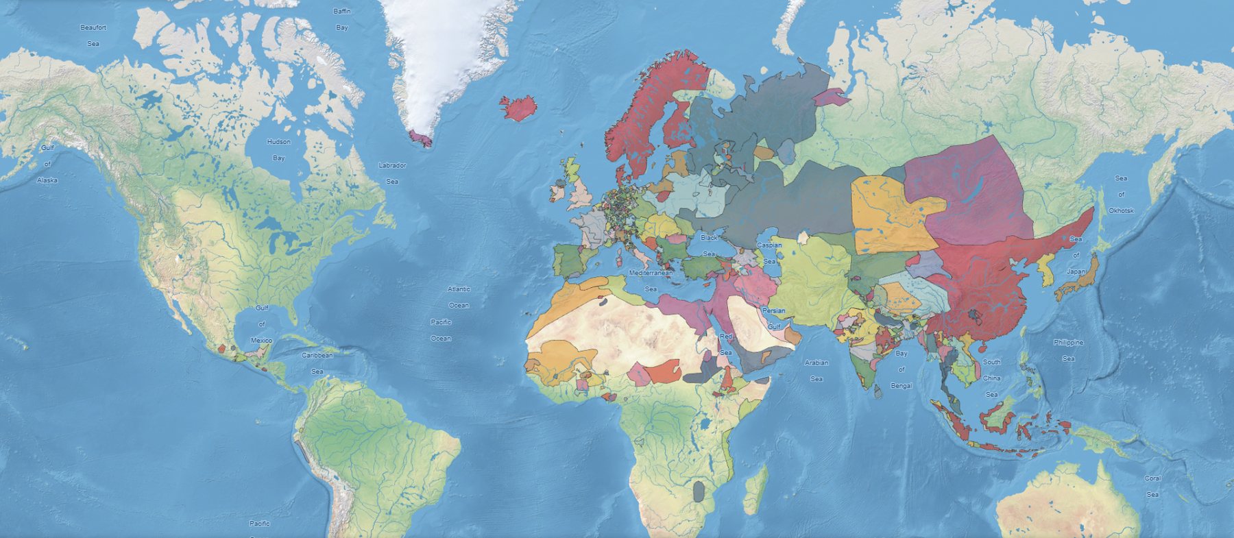
The Phersu Atlas model as a service: historical boundaries, polities, capitals, cities and battles for a collection of historical dates, delivered to your own maps, GIS tools and research pipelines.
About
Not a museum, not a startup: a laboratory that uses digital tools to understand and tell the world in time and space.
Partnerships

GeoPolMaps, our cartographic editor, is developed together with Sapienza Università di Roma and used in its courses.
We collaborate with universities, cultural institutions, research centres and technical partners. Propose a collaboration