03 — For developers, researchers and institutions
Historical boundaries as data. Query the Phersu Atlas model for a collection of historical dates and render polities, capitals, cities and battles in your own maps, GIS tools and research pipelines.
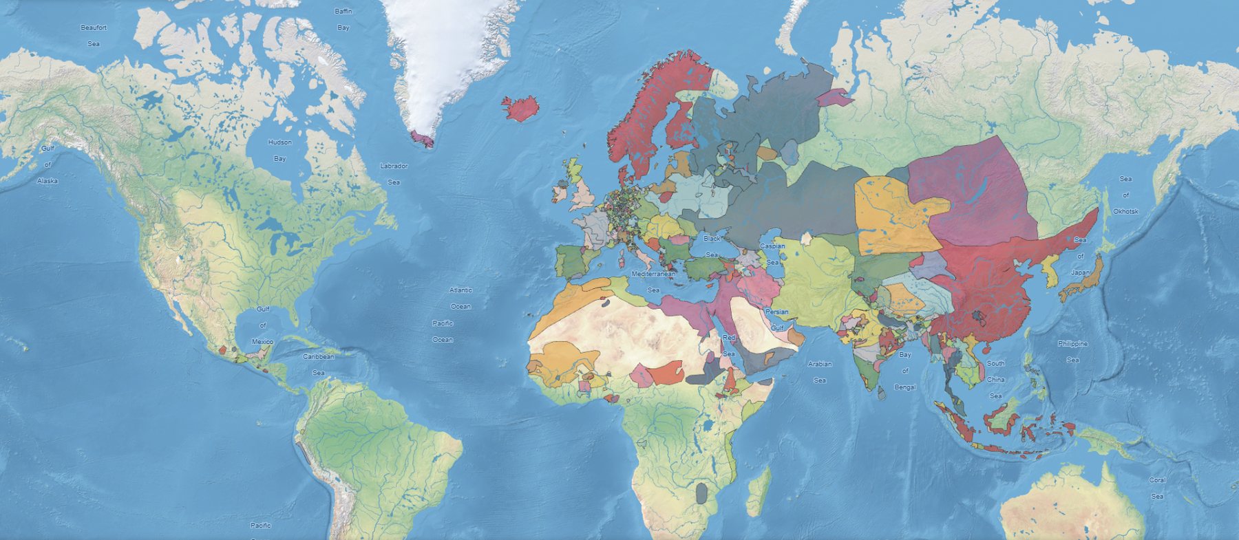
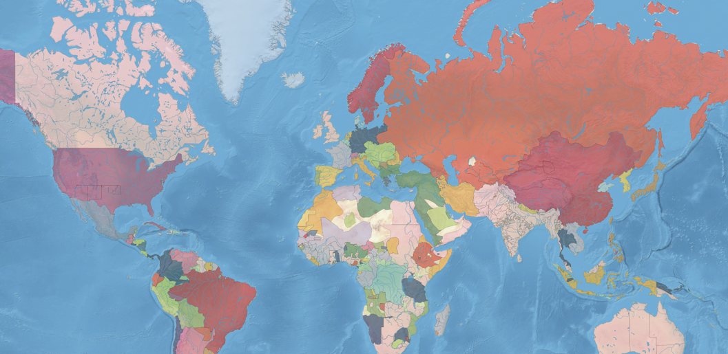
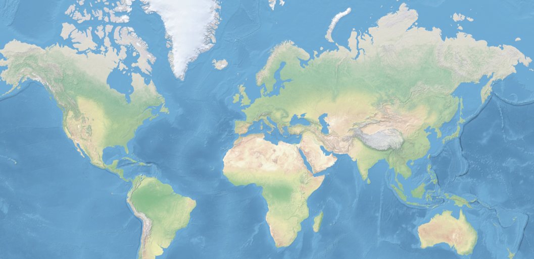
Transparent style — historical polities at 60% opacity over a Natural Earth physical background.
Everything shown in Phersu Atlas, from the borders of around 8,000 polities across 5,500 years to their capitals, cities, battles, sieges and territorial changes, is derived from a single continuous historical model. The Map API makes that model available outside the atlas, allowing it to be integrated into web applications, GIS software, research workflows and digital publications.
Access conditions, endpoints and examples are described in the documentation. For academic projects and institutional integrations, write to us.
Map styles
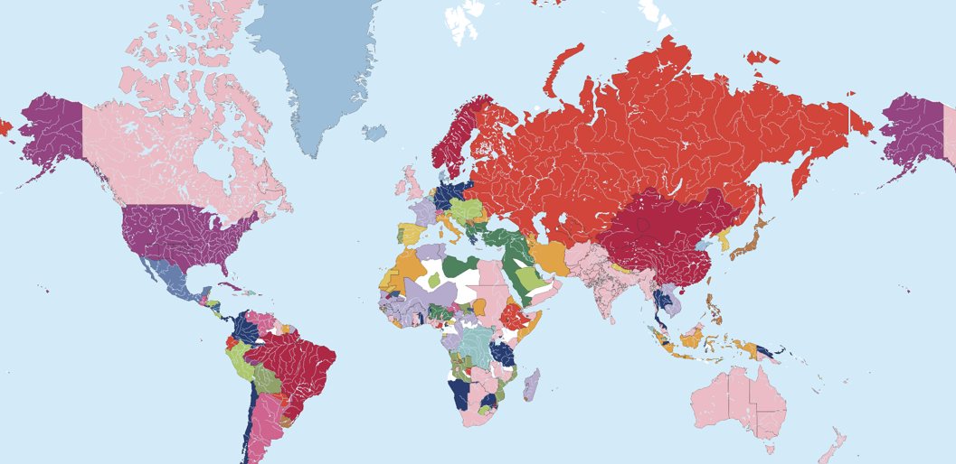
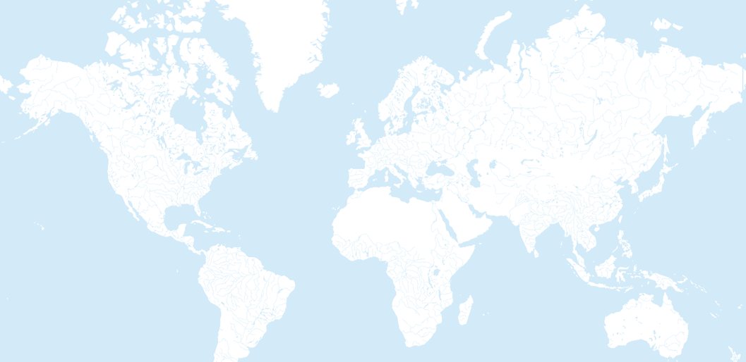
Each style is a single URL. Three of them follow the historical dates of the model; the Physical style is date-independent.