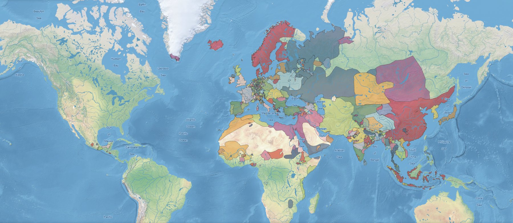
01 — Flagship project
Phersu Atlas
An interactive historical atlas of the world, day by day, from 3,499 BC to today. Behind the map: about 8,000 polities with their rulers, capitals, cities, battles, territorial changes and statistics.
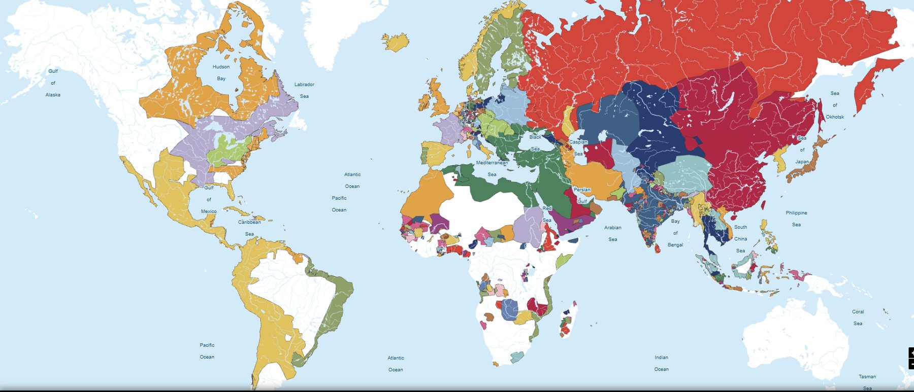
Projects
We turn historical knowledge into digital products: maps, databases, APIs and interactive experiences.
01 — Flagship project
An interactive historical atlas of the world, day by day, from 3,499 BC to today. Behind the map: about 8,000 polities with their rulers, capitals, cities, battles, territorial changes and statistics.
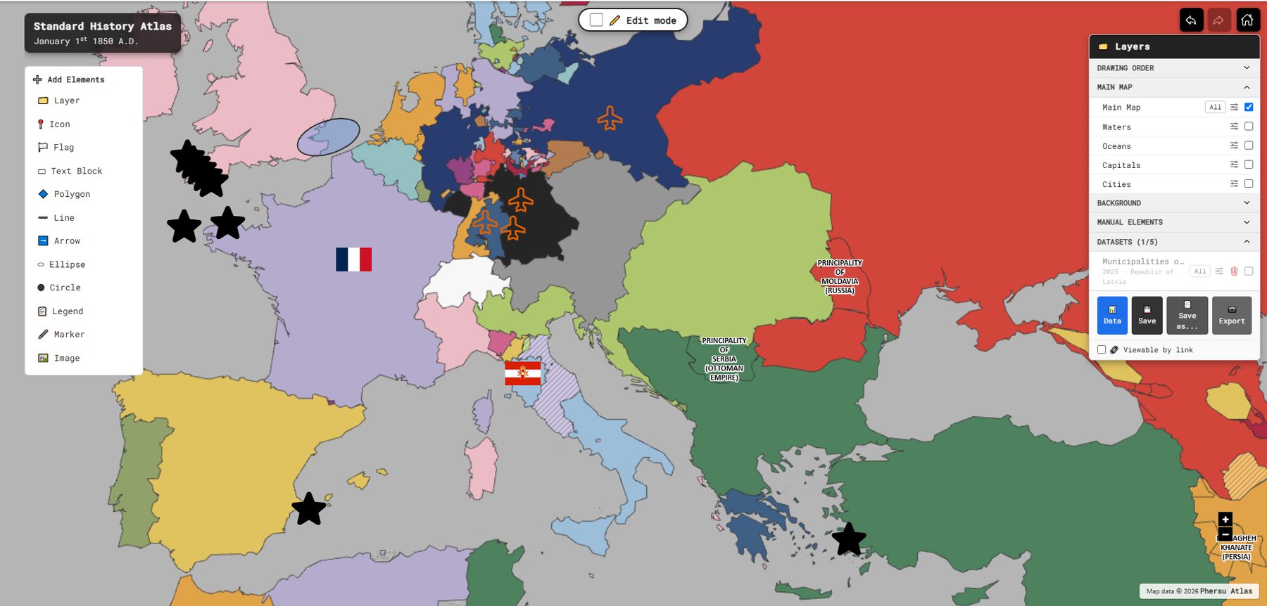
02 — Map editor · with Sapienza Università di Roma
A 2D and 3D cartographic editor built on the Phersu Atlas database. Choose a date and the borders of that day appear; then style, annotate, attach data and share. Developed with Sapienza Università di Roma for research and teaching.
03 — For developers, researchers and institutions
The Phersu Atlas model as a service: historical boundaries, polities, capitals, cities and battles for a collection of historical dates, delivered to your own maps, GIS tools and research pipelines.